Local MP reveals plan to lobby Google Maps to include a 'safe option' to save lives nationally
By Deborah Bowyer 25th Nov 2025
")
Congleton MP, Sarah Russell, whose constituency includes Sandbach and Alsager, revealed a plan to get a 'safe option' included in the Google Maps app to reduce the number of accidents.
Sarah said she would like to see an option on the Google Maps app for motorists to be able to select a 'safe option' choice when planning their route.
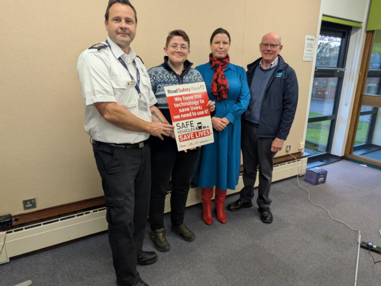
The plan was unveiled at an open meeting held at Alsager library for residents in her constituency as part of road safety week which finished on Saturday (22 November).
She said the number of accidents is something she would like to help reduce adding that she would like to get motorists on to safer roads.
"It would be good if we could get a 'safe option' included on Google Maps," she told residents who had gone along to the meeting.
Luca Staker, campaigns manager with Brake road safety charity said they were campaigning on a number of issues including to get the drink drive limit reduced and to have road safety taught as standard in schools.

John Twigg from 'I Am Road Smart' , Ryan Swindells from Cheshire Fire and Rescue Service and Aki Tsakonas from Cheshire East Council's highways department.
Nationally, 36 children are killed or injured on UK roads every day and 64 children died and 13,112 were injured on UK roads last year.
Twenty-four per cent of serious or fatal collisions involve 17 to 24 year olds. The charity Brake is supporting a petition to get road safety firmly on the curriculum which can be signed here
CHECK OUT OUR Jobs Section HERE!
alsager vacancies updated hourly!
Click here to see more: alsager jobs
Share:
.")
")